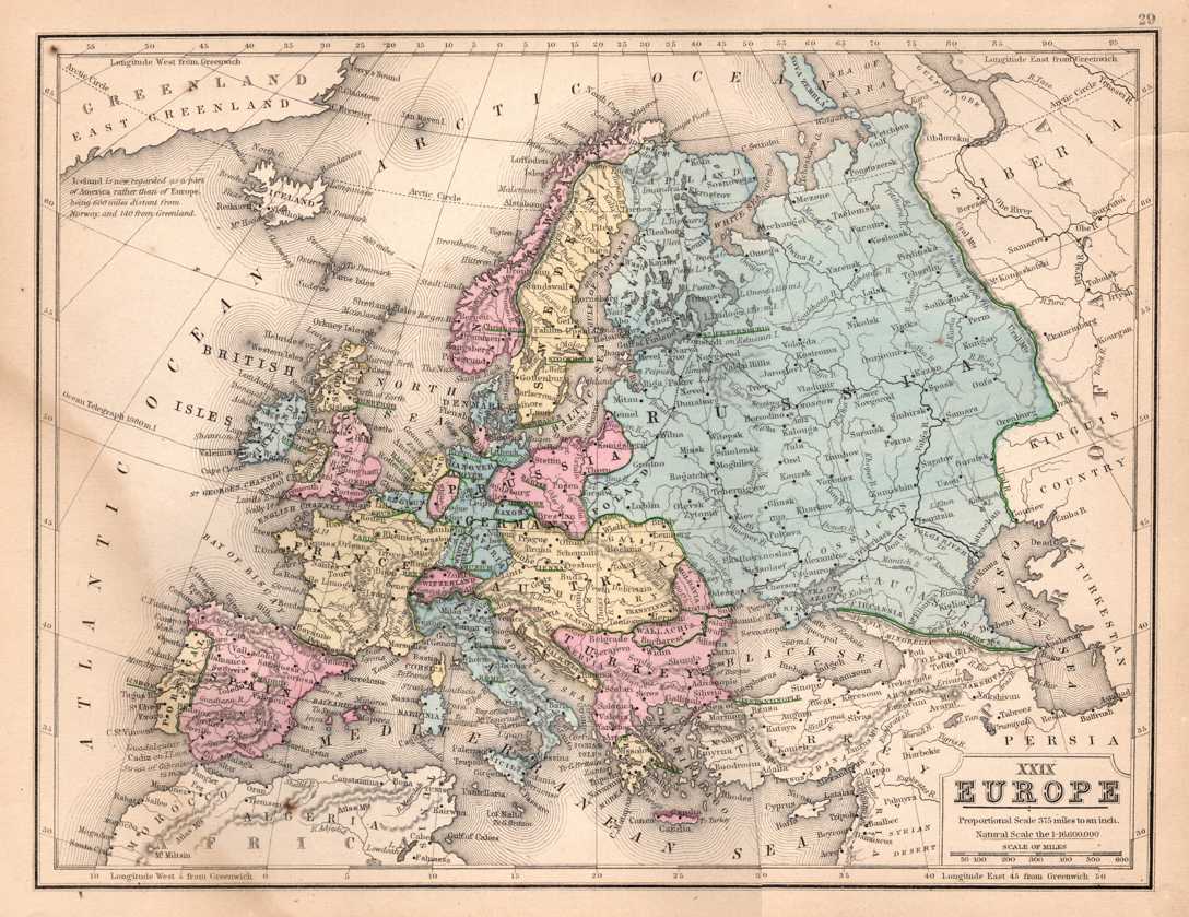
Anyway, this one is by Mitchell. The colouring, with prominent reds and greens, is similar to what other map-publishers of the period use (when not in monochrome). The yellow is nice — often, red and green are the only colours used. Note that they're very strict about what counts as Europe, with only the part of Turkey in Europe dignified with colour and Iceland left uncoloured.
There's a bit of water damage or something on the left edge, but other than that the map is in good condition. I'm very pleased with it.
Although it's several years since I added to my map collection, my wife still thinks I make acquisitions far too often and wants to know when I'll stop. That's easy: when I have them all!
I'll show you the other map that I bought tomorrow. How's that for suspense?