| Maps |
|
|
|
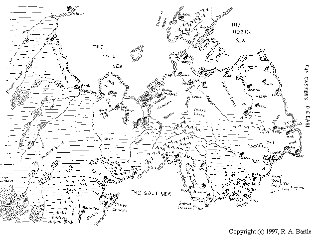
Full map of entire continent. Image size: approx. 13K. |
|
|
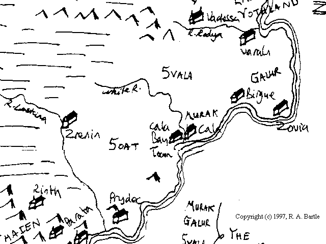
Murak, Soat, Galur, Svala. Image size: approx. 10K. |
|
|
Estavia, Akrea, Davia, Eastern
Vothland; Purasan and Purian lands. Image size: approx. 13K. |
|
|
Elet, Lowlands, Western Vothland. Image size: approx. 11K. |
Copyright ©
21st January 1999: isifmaps.htm